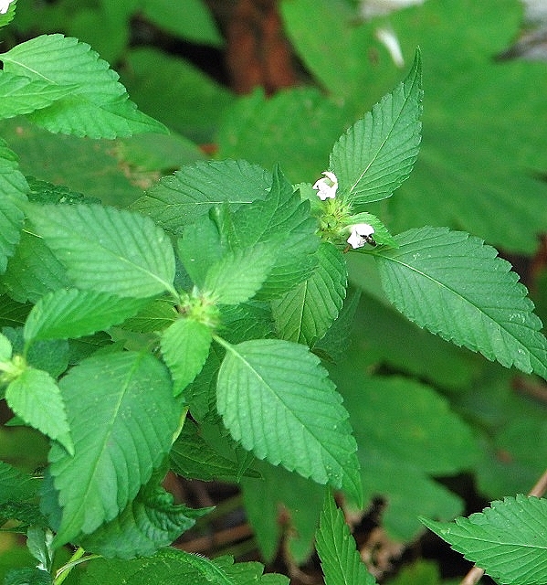
TG3208 : Common hemp nettle (Galeopsis tetrahit)
taken 7 years ago, near to Brundall, Norfolk, England
The Brundall Church Fen local nature reserve comprises 3.133 hectares (7.743 acres) of fen and alder carr. It is located south of St Laurence church and accessed via Church Lane, with the River Yare forming its southern, Brundall Broad its western, and the railway line its northern boundary.
The area known as Church Fen was purchased by the Brundall Parish Council in March 1980. Faden's map (1797) shows it as fen or marsh, but on the 1st edition OS map (dating from 1838) it is marked as grazing land. By 1908, a few patches of woodland had appeared. In the 1980s, the site was traversed by two tracks or roadways, the routes of which are today followed by the main footpath leading to the River Yare, and a linked boardwalk further to the west which leads back to Brundall village.
Due to the gradual decline of grazing in the 20th century, the marsh was taken over by scrub and carr until, in 1998, the parish council decided to transform it into a conservation area. In July 2003, the site was officially designated a local nature reserve and in 2006 the council won a prestigious CPRE Norfolk award for the creation and management of the reserve, which is left more or less as nature designed it. Dead and fallen trees are left in place, attracting wood-rotting fungi and providing homes for owls and bats. With public safety in mind, however, access is restricted to the designated path and the boardwalk, and there is no public access at all to the reed bed situated at the centre of the site. Both pathways are flanked by drainage ditches and swamp and walkers are advised to watch their steps.
Anglers have always used the site as a number of fishing perches on the bank of the River Yare attest. Dog walkers are welcome. The Broads Authority maintains 24-hour moorings, known as the Church Fen Moorings.
 Map © Crown Copyright")
- Grid Square
- TG3208, 142 images (more nearby 🔍)
- Photographer
- Evelyn Simak (more nearby)
- Date Taken
- Thursday, 17 August, 2017 (more nearby)
- Submitted
- Friday, 18 August, 2017
- Subject Location
-
OSGB36:
 TG 3204 0823 [10m precision]
WGS84: 52:37.3327N 1:25.6046E - Camera Location
-
OSGB36: TG 3205 0821
- View Direction
- North-northwest (about 337 degrees)