File:Gentiana pneumonanthe (49099695036).jpg

Original file (2,048 × 1,365 pixels, file size: 1.82 MB, MIME type: image/jpeg)
Captions
Captions
Summary[edit]
.jpg&action=edit§ion=1)
| Description |
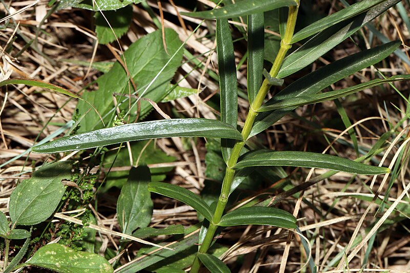
Familia: Gentianaceae Juss. Species: Gentiana pneumonanthe L. Original publication details: Sp. Pl. 228 (1753). Synonyms: Ciminalis pneumonanthe Borkh.; Ciminalis pseudopneumonanthe Bercht. & J.Presl; Ciminalis vulgaris Bercht. & J.Presl; Dasystephana pneumonanthe (L.) J.Sojak; Dasystephana pneumonanthe (L.) Zuev; Gentiana adrianii Sennen & Elias; Gentiana eonae Halda; Gentiana linearifolia Lam.; Gentiana linifolia Salisb.; Gentiana macrocarpophora St.-Lag.; Gentiana manginii Sennen; Gentiana palustris St.-Lag.; Gentianusa pneumonanthe (L.) Pohl; Pneumonanthe angustifolia Gilib.; Pneumonanthe media Raf.; Pneumonanthe minor Raf.; Pneumonanthe vulgaris F.W. Schmidt Common names: Genziana mettimborsa (IT); Marsh Gentian (EN). Location: Passo del Veleno (Municipality of Mele, GE, LIG, IT). Elevation: 660 m (2165 ft). Date: August 22 2019. Status: native. Chorotype: Euro-Siberian. Note: Gentiana pneumonanthe L. is a species whose range extends over most of continental Europe, to the south it is present up to the 39th parallel North in the Tagus basin (Portugal), to the north it is present up to the 65th parallel North in the Gulf of Bothnia (north-eastern Sweden and western Finland). It is also widespread in western Siberia and is similar to Gentiana linearis Froel. (north-eastern United States and eastern Canada). In Liguria Gentiana pneumonanthe L. is present only in the western Apennine sector (north-western sector of the Metropolitan city of Genoa and north-eastern sector of the Province of Savona), where it grows in the moors and in the boggy prairies. It is a rather rare plant (it is present in a dozen localities) and in progressive demographic contraction. |
| Date | |
| Source | Gentiana pneumonanthe |
| Author | Umberto Ferrando |
| Camera location | | View this and other nearby images on: OpenStreetMap |
|---|
.jpg¶ms=044.488836_N_0008.770190_E_globe:Earth_type:camera_source:Flickr_&language=en)
Licensing[edit]
.jpg&action=edit§ion=2)
- You are free:
- to share – to copy, distribute and transmit the work
- to remix – to adapt the work
- Under the following conditions:
- attribution – You must give appropriate credit, provide a link to the license, and indicate if changes were made. You may do so in any reasonable manner, but not in any way that suggests the licensor endorses you or your use.
| This image was originally posted to Flickr by ferrando.umberto at https://flickr.com/photos/185593532@N03/49099695036. It was reviewed on 26 November 2019 by FlickreviewR 2 and was confirmed to be licensed under the terms of the cc-by-2.0. |
File history
Click on a date/time to view the file as it appeared at that time.
| Date/Time | Thumbnail | Dimensions | User | Comment | |
|---|---|---|---|---|---|
| current | 01:31, 26 November 2019 | | 2,048 × 1,365 (1.82 MB) | Ser Amantio di Nicolao (talk | contribs) | Transferred from Flickr via #flickr2commons |
You cannot overwrite this file.
File usage on Commons
The following page uses this file:
- File:Gentiana pneumonanthe L. (49099695036).jpg (file redirect)
.jpg&redirect=no)
.jpg&oldid=476818427)